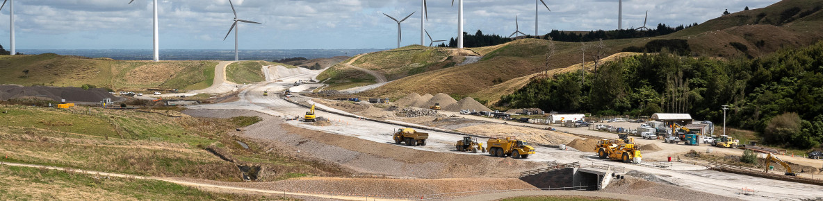
Te Ahu a Turanga is a new 11.5km section of SH3 that will cross the Ruahine Range north of the Manawatū Gorge, providing a safe, efficient, and resilient connection between Ashhurst and Woodville.
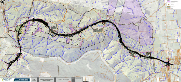
Highway route

Highway design
Detailed design is nearing completion. The highway will have a 100 km/h design speed and two lanes in each direction, including crawler lanes. Six bridges will be built as part of the project, the longest crossing the Manawatū River, and another bridge over sensitive wetland.
The new highway will be significantly safer than the alternative routes, with a 4-Star KiwiRAP safety rating and a maximum incline of 10%. By comparison, the Saddle Road and Pahiatua Track have a 2-Star KiwiRAP safety rating.
KiwiRAP safety rating(external link)
Travel time is estimated to be 13 minutes for general traffic and 18 minutes for freight. This is slightly faster, and much safer, than the time it took to drive the closed Manawatū Gorge road.
Route map
Cultural expression in design
Te Ao Māori is actively integrated into the design of the project in a way that celebrates this unique area and its rich cultural heritage. You can expect to see Māori culture expressed in many places on this project, from plant species selection to the design of highway structures.
Cultural and environmental design framework
Our Cultural and Environmental Design Framework has been developed in consultation with our iwi partners and stakeholders. The Framework has many visuals that provide a good indication of what the highway and surrounding area will look like, along with masterplans and the stories and rationale behind the design.
Cultural and environmental design framework document [PDF, 28 MB]

Bridge Two over the Manawatū River

Bridge from Parahaki Island