The ONF classifies the transport network into street categories which bring together movement and place elements of a road or street.
There are two street families – urban and rural. Differentiating between urban and rural recognises that the level of people and goods movement as well as the factors that determine place are different in each context.

ONF classification matrix [view larger image [PNG, 684 KB]]
ONF street categories factsheet [PDF, 3.1 MB]
View the classification matrix in the One Network Framework factsheet [PDF, 1.3 MB]
Local streets provide quiet and safe residential access for all ages and abilities and foster community spirit and local pride. They are part of the fabric of our neighbourhoods, where we live our lives and they facilitate local community access.
Local streets are the most common and most diverse streets in urban areas. They are generally important components of walking and cycling networks and should support these transport choices for local trips.
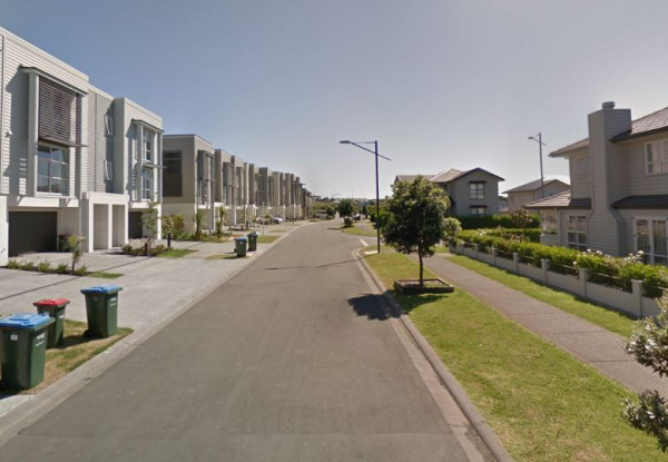
Urban connectors provide safe, reliable and efficient movement of people and goods between regions and strategic centres and mitigate the impact on adjacent communities.
The purpose of urban connectors is to provide for efficient movement of people and goods from A to B. There are low levels of interaction between the adjacent land use and the street. Servicing adjacent land has a lower priority, as the key role of these streets is to move along them rather than accessing adjacent properties.
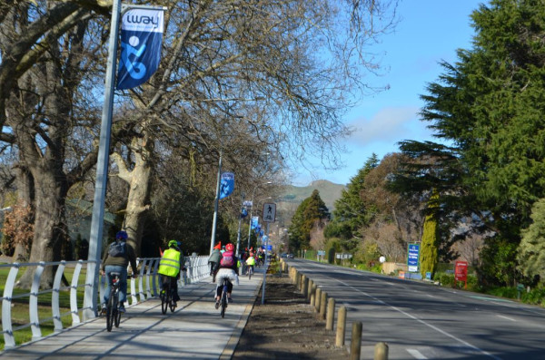
Activity streets provide access to shops and services by all modes. There is significant demand for movement as well as place with a need to manage competing demands within the available road space. Activity streets aim to ensure a high-quality public realm with a strong focus on supporting businesses, traders and neighbourhood life. Activity streets are where people spend a significant amount of time, working, shopping, eating, residing, and undertaking recreation.
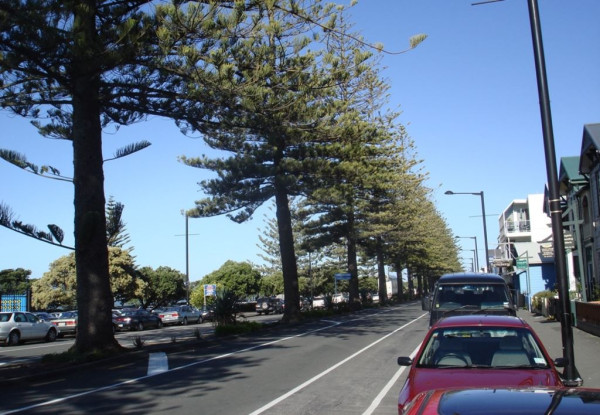
These streets have a higher Place classification representing the increased level of on-street activity and higher density adjacent land use generating that activity. The lower Movement classification indicates that these streets are mainly intended for localised on-street activity with little or no through movement. The lateral movement of pedestrians is usually given priority in these spaces. Examples include pedestrianised streets, plazas and low speed shared streets.
These are spaces that people are encouraged to spend time in, and where people on foot can relax and move freely.
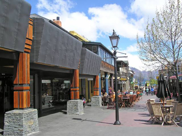
Main streets have an important Place function but a relatively important movement function as well.
They aim to support businesses, on-street activity and public life while ensuring connections with the wider transport network. While not having the scale of through movement of city hubs, they provide a similar function, needing to balance the interaction between people and goods movement and on-street activity.
Examples include rural or district townships and provincial cities where the main through road also doubles as the main commercial centre.
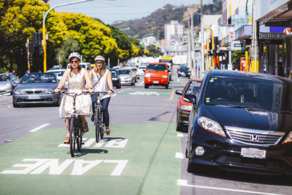
City hubs are dense and vibrant places that also have a high demand for people movement. They are also places providing focal points for businesses and culture. These streets should aim to reduce the impact of high traffic volumes while accommodating high pedestrian numbers, multi-modal journeys and access to public transport and essential emergency services.
Managing the large number of competing demands along city hubs requires careful consideration and generally involves significant trade-offs. These streets have a high number of people moving through and across them and so require efficient modes of transport, with lateral movement access prioritised to mitigate the impacts of congestion and ensure a safe environment.
Examples include major city centre streets such as Queen Street in Auckland and Lambton Quay in Wellington.
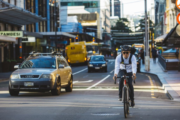
Transit corridors provide for the fast and efficient long-distance movement of people and goods within the urban realm. This includes motorways and urban expressways. By definition all dedicated, high movement and mode specific transport corridors such as heavy rail networks and busways are included in this classification.

Rural roads primarily provide access to rural land, for those that live there, and in support of the land-use activity being undertaken. Rural roads are the most common and most diverse roads in rural areas. They have no appreciable on-street activity occurring and in many parts of the country are unsealed.
Some rural roads are important for freight, collecting dairy and forestry and other primary produce from their source, while others, where volumes of vehicular traffic are very low, can provide safe and pleasant recreational and tourism routes, including the New Zealand Cycle Trail and Te Araroa (New Zealand’s walking trail). In some parts of New Zealand, rural roads are utilised more by people riding horses than by vehicles.
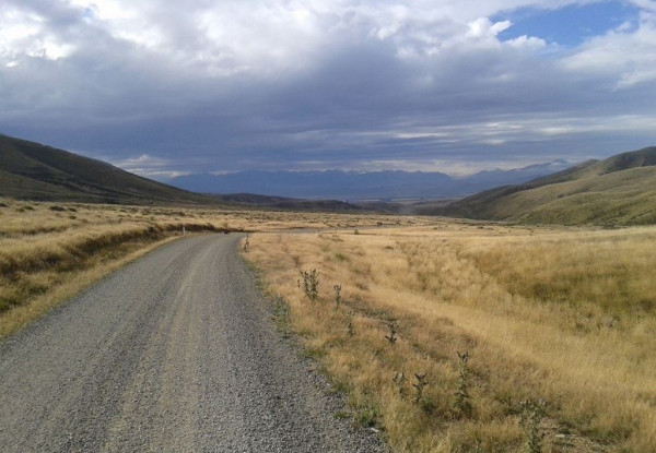
Rural connectors provide the link between rural roads and interregional connectors. They support an increased level of through traffic, while also providing access from the adjacent land they pass through.
Examples include feeder roads into townships and roads to regionally significant tourist attractions.
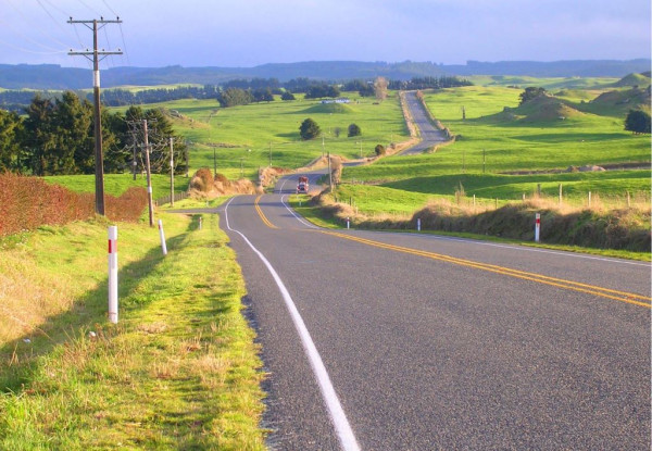
Peri-urban roads primarily provide access from residential property on the urban fringe, where the predominant adjacent land-use is residential, but usually at a lower density than that found in urban residential locations. On street activity is discernible and local in nature but also at lower levels than in urban areas. The level of people and goods movement on peri-urban roads can range from low volume through to regional.
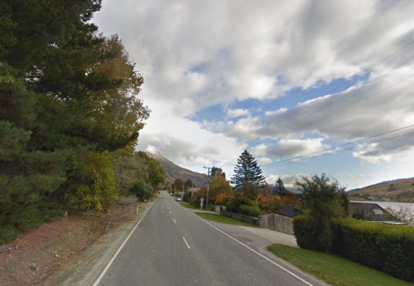
Stopping places are where people gather in a rural setting. There is adjacent land-use generating on-street activity, and lateral movement across the roadway can be expected. They have levels of on-street activity or adjacent land-use generating activity that is above the level normally generated by local residents.
Examples could include rural schools, community halls, marae, and sites of scenic interest. The movement classification around stopping places covers the entire range from M5 to M1 and so they can occur on quiet rural roads through to interregional connectors.
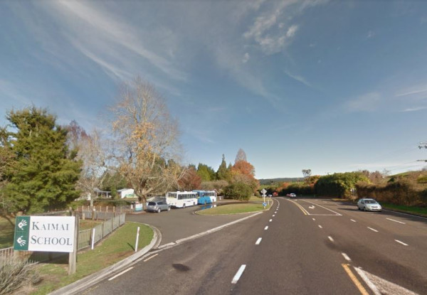
Interregional connectors provide safe, reliable and efficient movement of people and goods between regions and strategic centres in a rural context. The focus of interregional connectors is to provide for efficient movement of people and goods over significant distances, and therefore these roads will usually have reduced land use access along them, many being designated as limited access roads (LARs).
